The Route
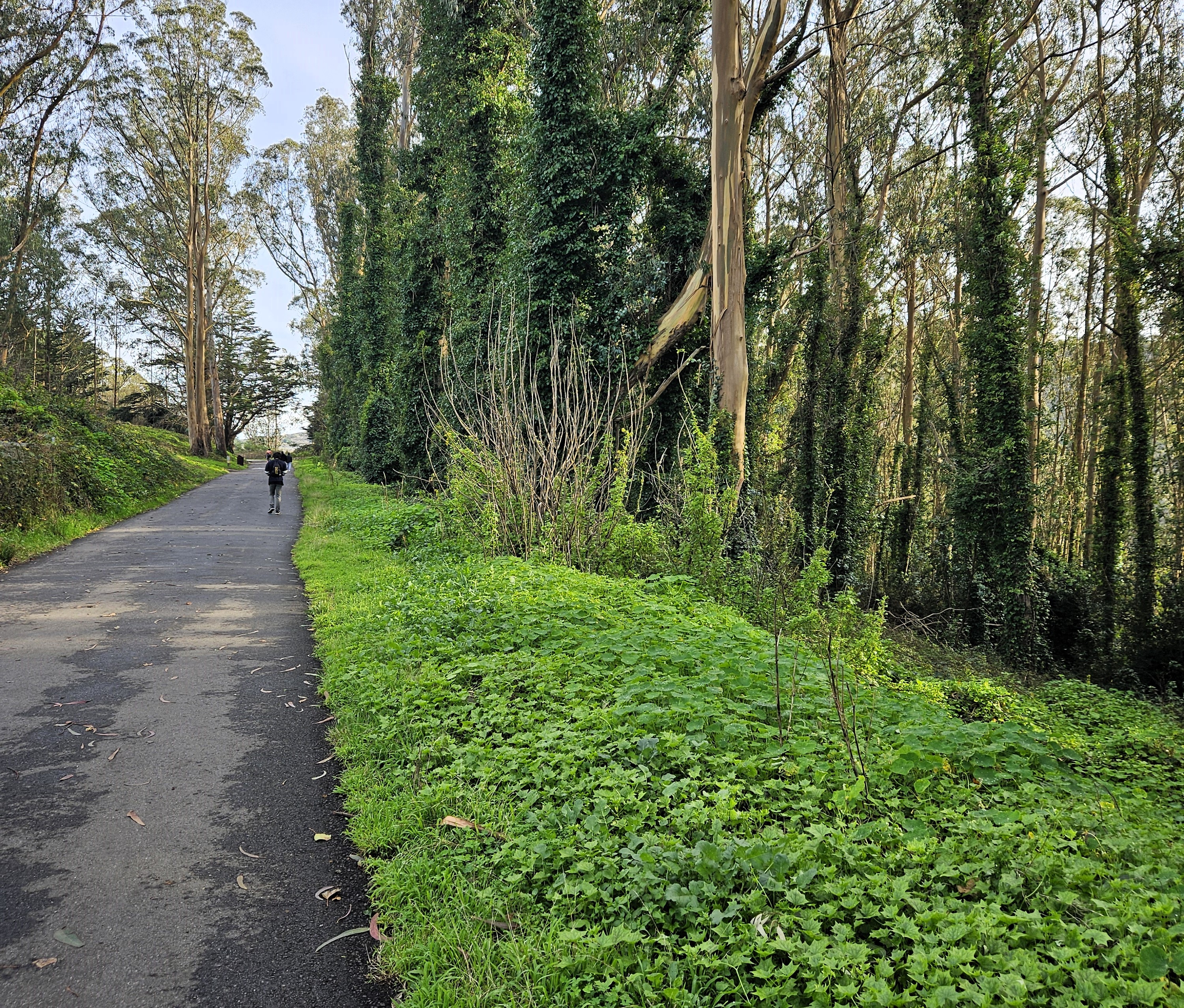
Park on Crocker Ave.[see entrances], near the back gate. Once inside the park, we’re on the Old Guadalupe Trail, a paved road, and immediately in a cool, deep, green shade. On one side of the path is a fence full of ivy and the other is a thick ivy-covered and carpeted eucalyptus forest. Though an invasive species, eucalyptus do make a lovely forest. If you're there at dusk (and note the park usually closes at sundown) you'll likely hear--and possibly see--owls.
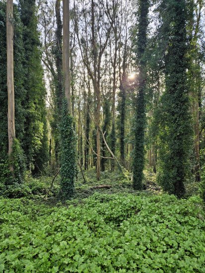
South side of Old Guadalupe; the forest.
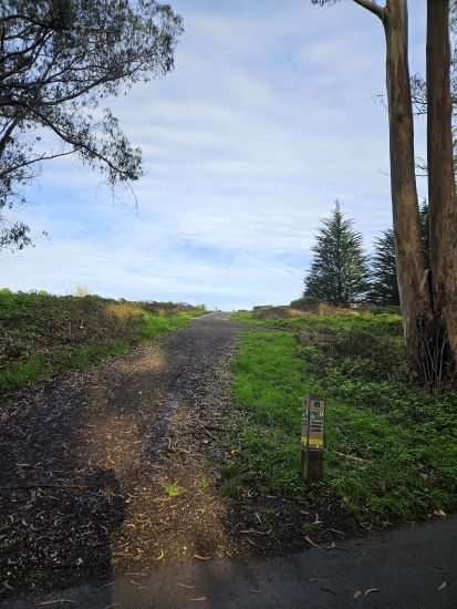
Left turn, steep hill, the Saddle Loop Trail.
Saddle Loop Trail
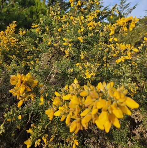
A hundred meters in, we take a left off the pavement onto a dirt road, the Saddle Loop Trail, and it goes immediately up. Three-tenths of a mile later we’re at the top and the beginning of the views. The top of that grade is a great place to see the sunset. The path rolls up and down for a ways and the flora here beside the path is of the scrubby, grassy variety. At one point on the right is a wide open bare dirt patch where a few years ago a fire destroyed all the vegetation and is in the midst of restoration.
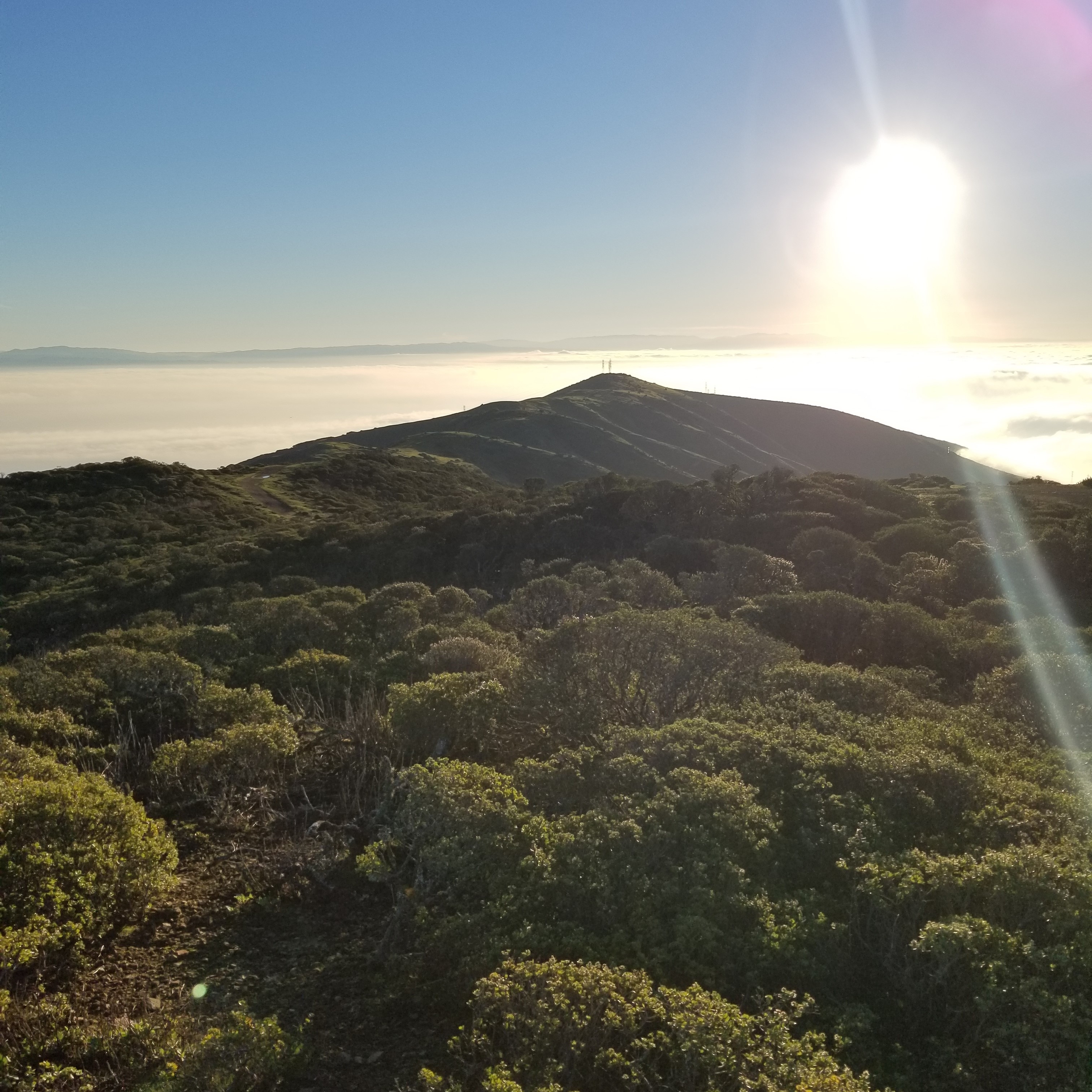
The bare area is edged by the Youth Camp Trail which heads off our path to the right and down to the main parking lot. We continue on the Saddle Loop Trail which winds around and up a bit to our big views of the bay. I've seen coyotes on this part of the Saddle Loop Trail. Beautiful creatures; don't bug them, they won't bug you. The path hits its most easterly point with a hairpin turn, on the apex of which is a bench perfectly suited to contemplate the bay and watch raptors hunting over the chaparral.
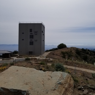
A gentle downhill jaunt takes us around the picnic meadow and past the main parking lot. Between the parking lot and the picnic area, there are bathrooms, a drinking fountain, a map board with interesting and important information, and options to go in multiple directions. We'll be heading west and picking up the Bog Trail to get back to our starting point at the Crocker gate. If you're standing at the intersection on the south-west corner of the meadow facing the parking lot and ranger kiosk, straight behind you is the Youth Camp Trail that goes up to the Saddle Loop Trail, to your left is back the way we came and the restroom, and to the right is the paved Old Guadalupe Trail and splitting off from that is the single track Bog Trail. We'll take that one.
Bog Trail and finish
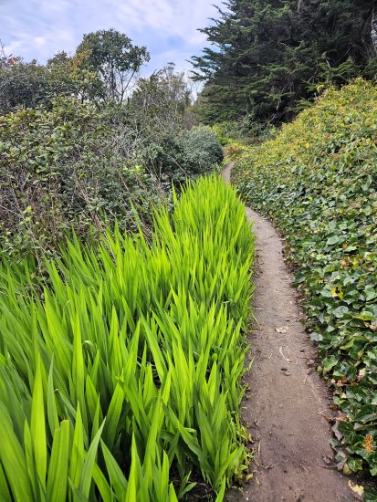
The Bog Trail is about 3/4 of a mile through lush, heavy bushes and trees, and on a lovely little bridge over the creek and it brings us back up to Old Guadalupe.
From there It's a gentle downhill paved path back to the Crocker gate. This can be one of the busiest sections of the park with walkers, bikers, and runners. Be sure to pay attention to your fellow park users but also keep your eyes peeled for critters. In this section, you'll often see raccoons, and I've even seen a couple of baby skunks rolling around playing like kittens.
The beginning of the Bog Trail near the main meadow.
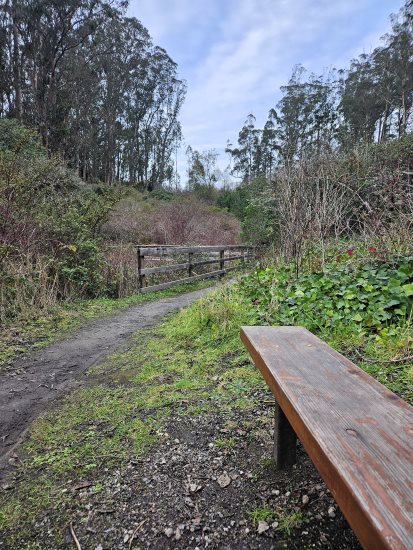
The bench, the bridge, the Bog Trail.